Geospatial Intelligence for Modern Systems
We build API-driven tools for real-time spatial analytics, autonomous systems, and enterprise mobility.
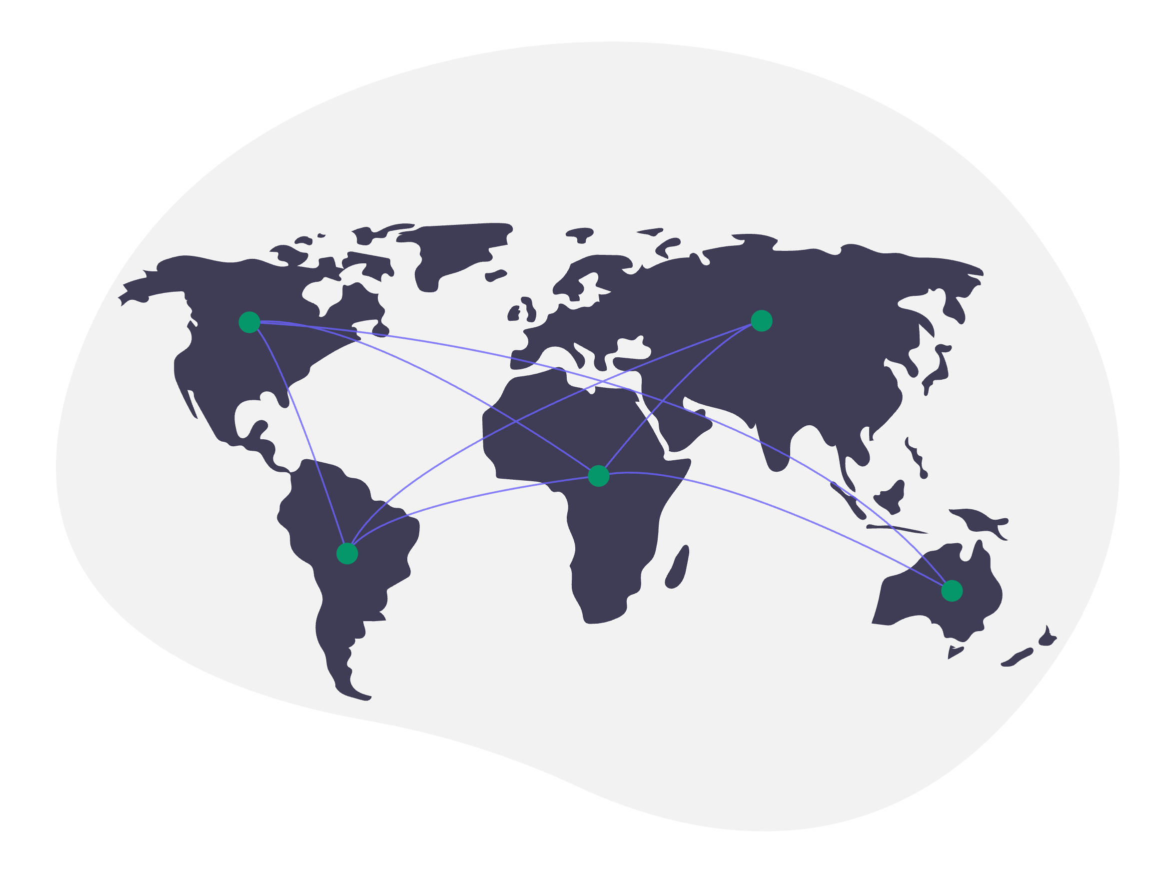
Terra Platform
Location Intelligence for Business
Our flagship platform for businesses and teams. Interactive mapping, spatial analysis, and real-time collaboration — all with enterprise-grade APIs.
Key Features
- Interactive map creation and visualization
- Advanced spatial analysis and querying
- Team collaboration and project sharing
- REST API for programmatic access
Spatio
Open-Source Spatio-Temporal Engine
A research and development project by Terra. Spatio is an open-source, edge-ready spatio-temporal data engine for real-time systems — built for autonomous mobility, drones, and IoT analytics.
Key Features
- Real-time geospatial indexing and queries
- Spatio-temporal data fusion for moving objects
- Low-latency edge processing
- Built for autonomous systems and IoT
- Open-source and community-driven
Spatio is part of Terra's commitment to open, edge-ready spatial intelligence.
Built for Developers
APIs at the core. Open standards and interoperability.
API-Driven Architecture
RESTful APIs for geofencing, routing, geocoding, and spatial analysis.
Open Standards
Built for interoperability with GeoJSON, and industry formats.
High Performance
Sub-second queries for real-time applications.
Everything You Need for Spatial Intelligence
Powerful APIs, real-time processing, and developer-friendly tools to build location-aware applications that scale.
Spatial APIs
RESTful APIs for geocoding, routing, geofencing, and spatial queries. Built for modern applications.
Data Visualization
Create interactive maps and visualizations with custom styling and dynamic data layers.
Multi-Format Support
Native support for GeoJSON, Shapefile, KML, GeoTIFF, and other industry-standard formats.
Solutions Across Sectors
From smart cities to autonomous systems — spatial intelligence for modern industries.
Urban Planning
Spatial tools for smarter cities.
Logistics & Transportation
Fleet tracking and route optimisation.
Environmental Monitoring
Monitor and analyze environmental data for conservation efforts.
Real Estate
Location intelligence for property analysis and market trends.
Precision Agriculture
Optimize crop management and resource allocation with spatial data.
Autonomous Systems
Spatial intelligence for drones and robotics.
Plans for Every Scale
From individual projects to enterprise deployments.
Free
Perfect for individual projects
Up to 5 projects
API access (rate limited)
Standard support
Community documentation
Pro
Ideal for production teams
Unlimited projects
Full API access
Priority support
Team collaboration
Advanced analytics
Custom integrations
Enterprise
For organizations with advanced needs
Everything in Pro
Dedicated support & SLA
On-premise deployment
Custom development
Training & consulting
Advanced security controls
Frequently Asked Questions
Learn how Terra Tech can integrate with your systems and bring spatial intelligence to your business.
Ready to start building with Terra?
Start integrating location intelligence into your applications today.